
This hike travels over scoria, on a hot day heat reflecting off the ground can be intense.
Travel to the dormant volcano island just a short ferry ride from downtown Auckland. Climb to the summit and experience panoramic views.
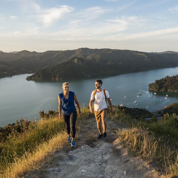
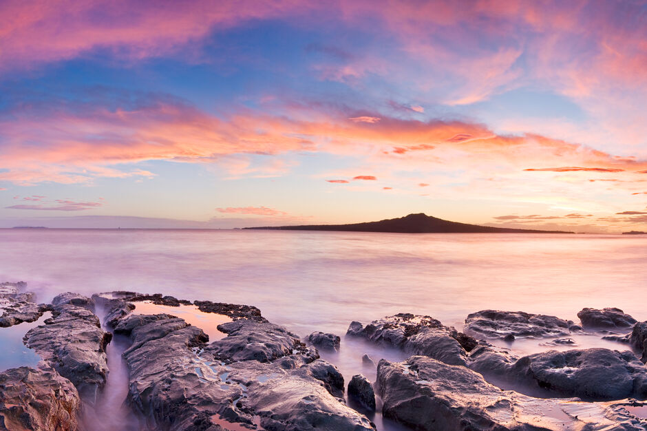
Dominating the Hauraki Gulf with its conical peak, Rangitoto Island is an Auckland icon. It is the youngest and largest of Auckland's volcanic cones.
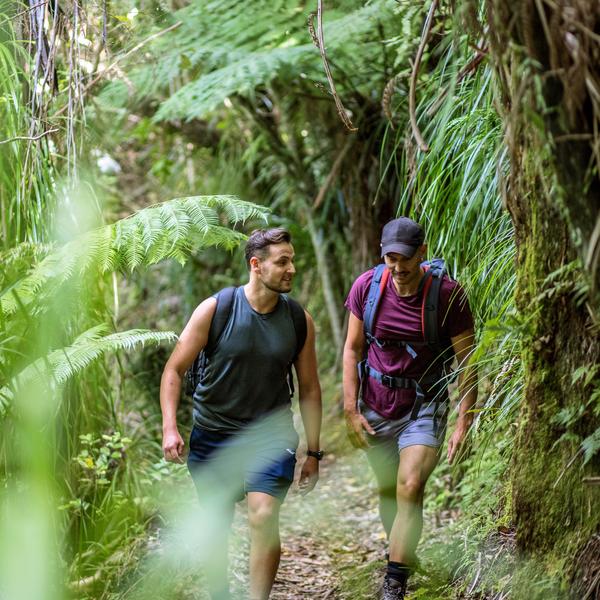
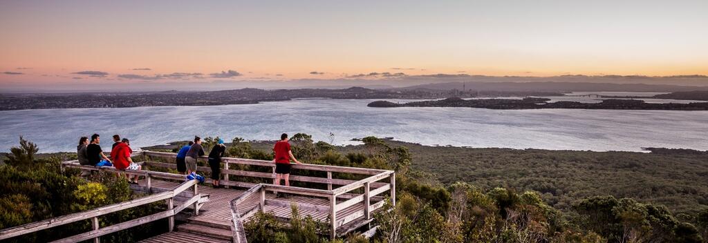
This popular summit walk begins at Rangitoto Wharf and climbs through lava fields and the world's largest pohutukawa forest to the island’s peak at 259m above sea level. At the summit you will be rewarded with spectacular panoramic views of New Zealand's largest city and surrounding Hauraki Gulf islands.

Track conditions often change. Be prepared by checking with the Department of Conservation before you go.
Alternative Routes
Lava Caves Track
Wilson Park Track
Getting there
Need to know