
Hike along two magnificent river valleys enclosed by towering mountains. A glacier side trip adds to the adventure.
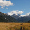

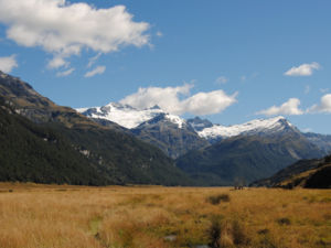
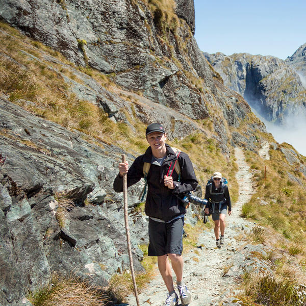
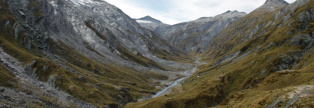
This magnificent, but challenging, alpine circuit lets you explore two river valleys at the head of Lake Wakatipu. Add a detour to the Dart Glacier to make the circuit 5 days.
Muddy Creek > Shelter Rock Hut
From Muddy Creek, cross the boggy section beyond Arthur's Creek to the swingbridge spanning the Rees River. Walkers then continue on through beech forest and ruggard gullies to Shelter Rock Hut.
8 hours walking
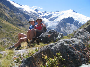
Shelter Rock Hut > Dart Hut
Travel along the narrow track as it follows the river for some distance before climbing 1471-metres to the Rees Saddle. Stop to admire the panoramic alpine views. From here the track turns continue downwards, traversing steep slopes and crossing two bridges before coming to Dart Hut.
6 hours walking
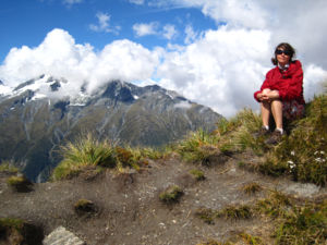
Dart Hut > Daleys Flat Hut
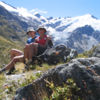
Descent through beautiful beech forest to Cattle Flat. You may come across rare native birds, such as yellowheads, kaka, robins and fantails. Paradise ducks live on the grassy river flats. The track then crosses a number of terraces and gullies before reaching Daleys Flat Hut.
6 hours walking
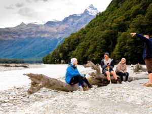
Daleys Flat Hut > Chinaman's Flat > Paradise
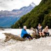
Begin early and follow the track to Dredge Flat. Journey through forest and across gravel flats to Sandy Bluff, where the track climbs, looking down on the Dart River below. A well-marked track leads along the river and through the forest to Chinaman's Bluff and the grassy flats that lead to the carpark.
7.5 hours walking to Chinaman's Flat > 2 hours walking Chinaman's Flat to Paradise
Click the link below for more information and detailed maps about this hike.
Alternative Routes
Make this a 5-day walk by including these two side-trips from Dart Hut.
Caution must be taken on both these walks as rain and snow melt can make stream and river crossing hazardous.
Accommodation
Getting there
Guided walk operators
Need to know