
The Kaimai Mamaku Forest Park is a living museum of botanical history with 300 kilometres of tracks to explore.
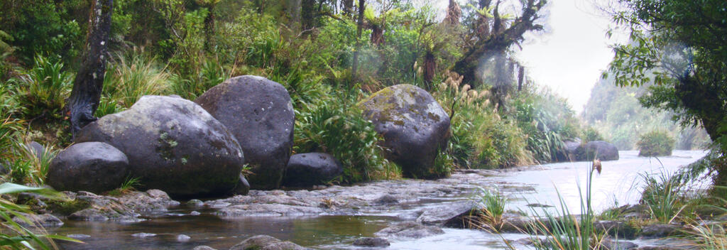
The Kaimai Mamaku Forest Park stretches for 70 kilometres from the Karangahake Gorge near Waihī to the Mamaku Plateau near Rotorua. It forms a natural barrier between the Waikato and Bay of Plenty regions. In ancient times, the Kaimai Mamaku Range was a Noah's Ark for plants, riding high above seas of ice and oceans of water. In more recent times, Maori settlers formed tracks through the range, hunted in its subtropical forest and used its plants for food and medicine. The park marks the northern boundary for native red and silver beech. It is also the southernmost limit of the majestic kauri. From Tauranga, Paeroa, Te Aroha and Matamata, access roads run directly into the park to connect with well-marked hiking tracks. You can pick up a track map at the visitor centres in these towns. Two of the best walks are the Waitewheta Track, which follows a kauri log tramline past rocky bluffs, deep gorges and waterfalls; and the walk from Te Aroha Domain to the summit of Mt Te Aroha (952m). There are huts, shelters and picnic areas throughout the 300 kilometre track network.
Looking for deals