
There are easier, shorter walks up and around Mount Te Aroha.
Make your way up Mount Te Aroha, the highest point in the Kaimai-Mamaku Forest Park at nearly 1 km tall.
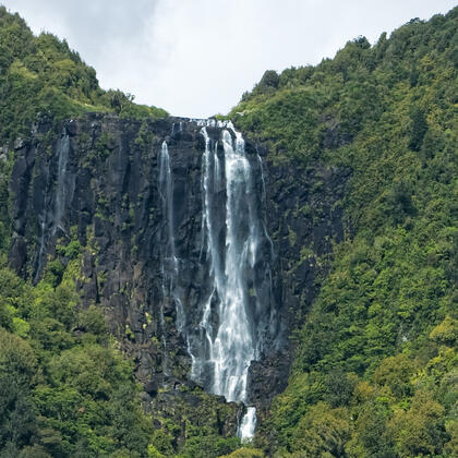
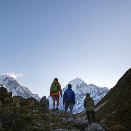
Beginning at the Mokena Geyser in Te Aroha Domain, the well-defined track rises to the summit, which offers majestic 360 degree views across the Waikato and Bay of Plenty. On a good day, you can see as far as Taranaki Maunga and Mt Ruapehu, the two highest mountains in the North Island.
From the geyser, it's about 45 minutes to the Whakapipi Lookout, marking the start of the Kaimai-Mamaku Forest Park. The track continues on for around two more hours and becomes steeper and rougher.
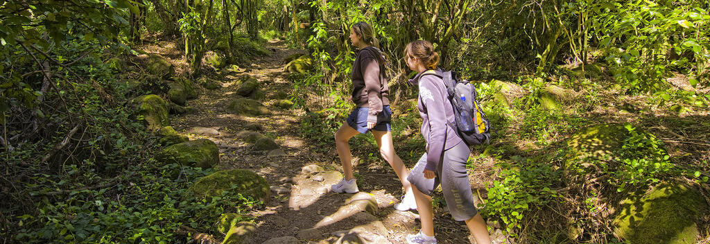
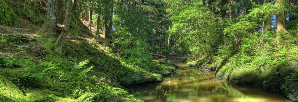
You can descend by retracing your steps - the return trip is somewhat quicker. This track includes a steep and rocky section and passes an old concrete explosives magazine, before heading into lowland forest and joining the Tui Domain Track.

Track conditions often change. Be prepared by checking with the Department of Conservation before you go.
Route options
You can take the slightly longer route along Tui Mine Loop Track on your descent, via the steps on the northeast side.
Tracks nearby
Te Aroha Domain Upper and Lower Walks (20 mins)
The Tui Domain Track (1 hour, 30 mins)
The Bald Spur Track (45 mins)
Howarth Memorial Wetland Loop Walk (1 hour loop)
Te Aroha summit to Waiorongomai Saddle (50 mins)
Getting there
Te Aroha is close to Hamilton, Waihī and Paeroa. To reach the Te Aroha Domain, travel to Whitaker Street, Te Aroha.
Need to know
Looking for deals