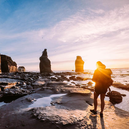

Follow an old Māori trail that links to the Forgotten World Highway with the Whanganui River. This is wilderness at its wildest.


Explore the wilderness between Taranaki and Whanganui National Park on this multi-day hike.
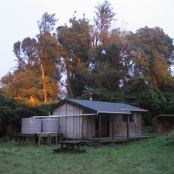
Kohi Saddle > Pouri Hut
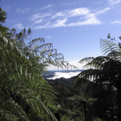
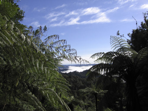
Beginning at Kohi Saddle, walk through regenerating forest up and along the crest of the Matemateāonga Range. On a clear day look out for occasional glimpses Tongariro National Park's famous volcanic cones.
6.5 hours walking
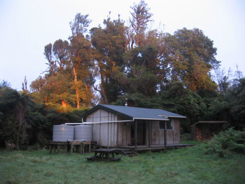
Pouri Hut > Puketōtara Hut
Continue along the gentle crest of the range. The dense native forest is broken by intermittent views to the north, before finally descending gently to Puketōtara Hut.
6.75 hours walking
Puketotara Hut > Whanganui River
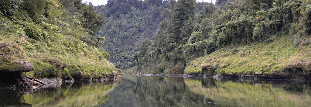
From Puketotara hut, the track as it drops steeply from the Matemateāonga Range, winding down to the banks of the Whanganui River. Pause just beyond the hut to take in the sweeping view of the Whanganui River and Tongariro peaks in the east.
At the Whanganui River, meet your jet boat for the river journey to Pipiriki.

Click the link below for more information and detailed maps about this hike.
Alternative Routes
This walk can be taken in either direction although most people prefer to begin at the western end on SH43.
To make this a 5-Day walk, break your journey with a night at the following huts:
Getting there
Need to know
Looking for deals