Accommodation may be limited in peak season.
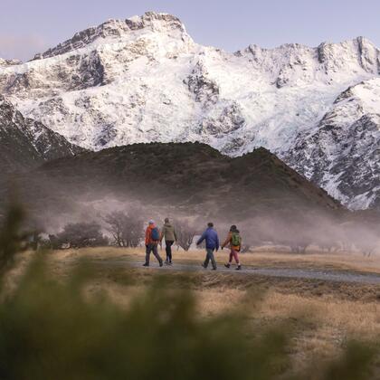
The St James Walkway combines diverse scenery, wildlife and vegetation on an undemanding trail through sub-alpine conservation and reserve areas.
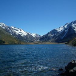
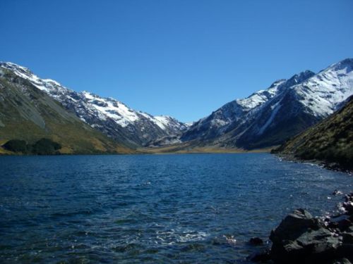
Located partly within the Lewis Pass National Reserve, the St James Walkway winds through St James Conservation Area and Lake Sumner Forest Park, taking in stunning alpine scenery.
Lewis Pass entrance > Cannibal Gorge Hut or Ada Pass Hut
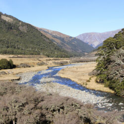
Follow the track as it travels across a natural open bog, enters the forest and descends via a steep zig-zag into Cannibal Gorge on the Maruia River. Cross the swing bridge and walk 6 km to the Cannibal Gorge Hut or continue along the track as it follows the Maruia River, through beech forest and open alpine fields to the Ada Pass Hut.
3 hours 30 min walking to Cannibal Gorge Hut, 5 hours walking to Ada Pass Hut
Ada Pass Hut > Christopher Hut
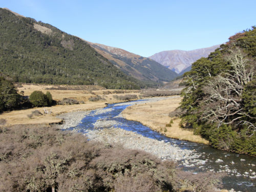
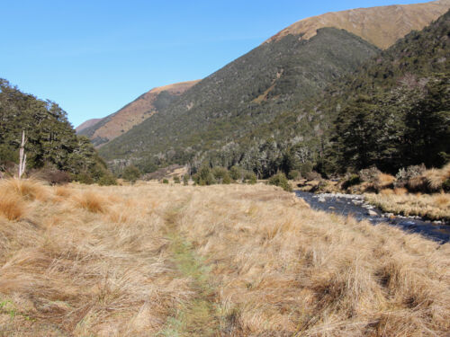
From the hut, the track leads through native forest over Ada Pass into the Ada valley. Beech forest gradually gives way to open areas of tussock with tongues of mountain beech. Be sure to check out the historic hut at the confluence of the Ada and Christopher rivers, near Christopher Hut.
4 hours 30 min walking
Christopher Hut > Anne Hut
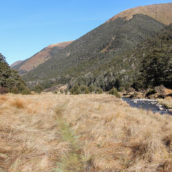
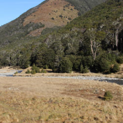
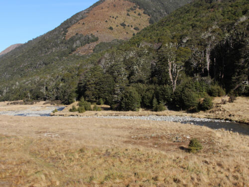
From Christopher Hut the route travels down the valley along the bank of the Ada River. Open flats converge with the river and toe of the hill as the track passes through matagouri thickets and open rolling and swampy ground, before crossing a suspension bridge and traveling on to Anne Hut.
4 hours 30 min walking
Anne Hut > Boyle Flats Hut
Today's walk crosses several bridges as it makes its way along the Anne River. Follow the trail as it continues over the Anne Saddle into the Boyle Valley. At the Boyle River a suspension bridge takes you within 100 metres of the Boyle Flat Hut.
7 hours 30 min walking
Boyle Flat Hut > Boyle Settlement
Continue along the trail as it follows the gorge towards Lewis Pass. Suspension bridges criss-cross the Boyle River, leading you down the valley to the shelter and car park at State Highway 7 near the Boyle Settlement.
5 hours walking

Click the link below for more information and detailed maps about this hike.
Getting there:
Both ends of the track are on SH7 (Lewis Pass Rd) - one end is near the top of Lewis Pass, and the other end is at Boyle Village.
Need to know:
Looking for deals