
TRAVEL ALERT: The Cape Brett Walkway is now reopened but alignment changed. Visit doc.govt.nz for updated information.
There are steep cliffs and drop-offs to the side of the track.
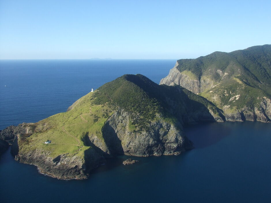
This magnificent hiking track runs the length of Cape Brett. It's a challenging walk, so you'll need a high level of fitness. But it's worth the effort.
This challenging 8-hour track requires a high degree of fitness and hiking experience but you will be rewarded for your effort.
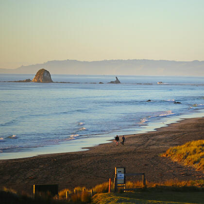
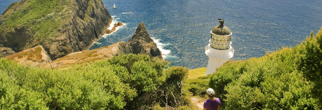
The track begins at Oke Bay, near Rawhiti, and takes you through native forest and along dramatic cliffs to the lighthouse at the end of the cape. When you look down to the ocean and bays below, you might see dolphins playing in the waves. From Deep Water Cove onwards, the track gets more challenging and becomes quite exposed with steep drop-offs to the sea below. The area is rich in early Maori history, and the remains of ancient pā sites (fortified villages) are visible at various locations.

Track conditions often change. Be prepared by checking with the Department of Conservation before you go.
Alternative routes
You can take a side-track (1 hr return) down to Deep Water Cove, where you can enjoy a refreshing swim and snorkel.
Getting there
Need to know
Looking for deals